επιλέξτε το θέμα που σας ενδιαφέρει ↓
Τα χαρτογραφικά προηγούμενα
Η ιδέα δημιουργίας εθνικής χαρτογραφικής Υπηρεσίας και οι θεμελιώδεις ενέργειες για την υλοποίηση της
Για την προεπισκόπιση και μεταφόρτωση αρχείου σε μορφότυπο PDF, επιλέξτε τον ακόλουθο σύνδεσμο:
Τα χαρτογραφικά προηγούμενα
Η Γεωγραφική Υπηρεσία Στρατού αποτελεί την Χαρτογραφική Υπηρεσία της Χώρας με τη μακροβιότερη ιστορία. Από τo λυκαυγές της ιστορίας της βρίσκεται αδιάλειπτα στην Υπηρεσία των ΕΔ και του κοινωνικού συνόλου.
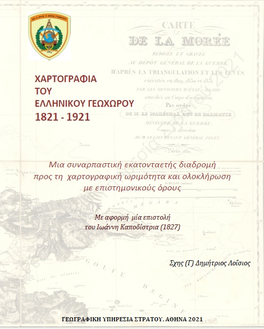
Για να κατανοήσουμε όμως τη πορεία προς την ίδρυση της Υπηρεσίας θα πρέπει να ξετυλίξουμε το μίτο της ιστορικής διαδρομής ξεκινώντας από το 1832. Την χρονιά εκείνη με τη συνθήκη του Λονδίνου ιδρύεται επίσημα το σύγχρονο ελληνικό κράτος και χαράσσονται τα πρώτα σύνορα τα οποία οριοθετούν την ελληνική επικράτεια στη γραμμή Παγασητικού - Αμβρακικού. Η δεύτερη μεγάλη επέκταση της χώρας έγινε το 1881 με τη Συνθήκη της Κωνσταντινούπολης, σύμφωνα με την οποία στην Ελλάδα ενσωματώνεται η Θεσσαλία και τμήμα της Ηπείρου ανατολικά του Αράχθου ποταμού. Για την χάραξη των νέων συνόρων εκδόθηκαν 13 Φ.Χ. σε κλίμακα 1:50.000 υπό την επίβλεψη του Τχη John Charles Ardagh (1840-1907), αντιπρόσωπο της Αγγλίας στην Επιτροπή οριοθέτησης και Διοικητή των τοπογραφικών εργασιών.
Από τη στιγμή εκείνη αρχίζει να παίρνει σάρκα και οστά η ιδέα για τη δημιουργία μίας εθνικής χαρτογραφικής υπηρεσίας. Η Ελλάδα έπρεπε να στηριχθεί στις δικές της δυνάμεις. Όλες οι προγενέστερες εργασίες αποτύπωσης του ελληνικού γεωγραφικού χώρου προέρχονταν από Γάλλους και Άγγλους, τις μεγάλες δυνάμεις της εποχής, που ήταν προφανές ότι εξυπηρετούσαν τα δικά τους εθνικά συμφέροντα.. Η κτηματογράφηση της χώρας ιδιαίτερα με τα προβλήματα που δημιουργούσε η διανομή των εθνικών γαιών από την εποχή του Καποδίστρια και του Όθωνα, αλλά και στη συνέχεια επί των διαδοχικών κυβερνήσεων Κουμουνδούρου, Τρικούπη και Δηλιγιάννη αποτελούσε πλέον μονόδρομο. Παράλληλα, η υλοποίηση των μεγάλων αναπτυξιακών έργων απαιτούσε την ύπαρξη κατάλληλης χαρτογραφικής υποδομής. Η χώρα επιτέλους συνειδητοποίει, για πρώτη φορά, 70 χρόνια μετά τον Καποδίστρια, τη σπουδαιότητα της ύπαρξης εθνικής χαρτογραφικής υποδομής. Στηριζόμενη σε πραγματικά γεγονότα και όχι σε αυτοσχεδιασμούς προσέφυγε με σύνεση και χωρίς συμπλέγματα στην λύση της άντλησης και μεταφοράς τεχνογνωσίας από τα λαμπρά επιτεύγματα άλλων ευρωπαϊκών χωρών.
Η πρώτη επαφή ελλήνων Αξιωματικών με υψηλού επιπέδου τοπογραφικές και γεωδαιτικές εργασίες πεδίου σε ελληνικό έδαφος, λαμβάνει χώρα στην επιστημονική αποτύπωση της Αττικής, σε κλίμακα 1:25000. Το όλο εγχείρημα πραγματοποιείται υπό την επίβλεψη και καθοδήγηση του Λοχαγού του Πρώσικου στρατού Johann August Kaupert και του Υπολοχαγού Alten. Οι εργασίες οι οποίες ξεκινούν το 1875 και ολοκληρώνονται το 1894 καταλήγουν στην έκδοση 32 Φ.Χ. που καλύπτουν την ευρύτερη περιοχή Αττικής σε κλίμακα 1:25.000 με τον τίτλο Karte Von Attica. Η μεγάλη αυτή χαρτογραφική επιχείρηση έχει ιδιαίτερη αξία, αφού θα αποτελέσει ένα είδος γνωστικού εργαστηρίου για την εξάσκηση και υψηλή επιπέδου μετεκπαίδευση ελλήνων Αξιωματικών Τοπογράφων.
Η εμπειρία που αποκτήθηκε, εφαρμόζεται στο πεδίο για εθνικούς πλέον σκοπούς από το 1887-1889, από την ομάδα του Ανθλγου (ΠΖ) Αλέξανδρου Ν. Μαυροκορδάτου. Πρόκειται για τις πρώτες αμιγώς ελληνικές συστηματικές εργασίες, οι οποίες ουσιαστικά συνιστούν τον προάγγελο της μεγάλης χαρτογραφικής επιχείρησης των ετών που θα ακολουθήσουν. Την ίδια χρονική περίοδο και συγκεκριμένα στο μέσο αυτής, το 1884, εκδίδεται από το Καισαροβασιλικό Γεωγραφικό στρατιωτικό ινστιτούτο της Βιέννης ο Χάρτης του Βασιλείου της Ελλάδας με την επιμέλεια του Υφικράτη Κοκκίδη, διαπρεπή έλληνα αξιωματικού, μηχανικού και αρχιτέκτονα και αναθεωρήσεις του σπουδαίου Γερμανού χαρτογράφου της εποχής Heinrich Kiepert. Η εργασία αυτή εντάσσεται στο πλαίσιο της ευρύτερης προσπάθειας για την χαρτογραφική κάλυψη του Ελλαδικού γεωγραφικού χώρου σε ενιαία κλίμακα, μετά την δεύτερη εδαφική επέκταση της χώρας το 1881.
Οι προαναφερόμενες δράσεις αποτελούν τον προθάλαμο για την είσοδο της χώρας στο επιστημονικό πεδίο της χαρτογραφίας με συστηματικό και οργανωμένο τρόπο. Η πρώτη όμως πολιτική ενέργεια που αποτέλεσε το εφαλτήριο για την δημιουργία στρατιωτικής χαρτογραφικής Υπηρεσίας ήταν η δημοσίευση το 1882 του νόμου ΑΛΖ στο άρθρο 31 του οποίου αναφέρεται «Επιτρέπεται εις την Κυβέρνησιν να καλέσει παρά τω Στρατώ αλλοδαπούς Αξκούς προς μελέτην του Στρατιωτικού Οργανισμού του Κράτους, ή άλλων υπηρεσιών αντικειμένων αναγομένων εις την στρατιωτικήν υπηρεσίαν και προς εισαγωγήν εν τω Στρατώ διαφόρων εφαρμογών. Η τοιαύτη αυτών υπηρεσία δεν δύναται να διαρκέσει υπέρ τα πέντε έτη εί μη εάν ορισθεί δι ειδικού νόμου».
Ο θεμέλιος λίθος για την ίδρυση της Υπηρεσίας τέθηκε το 1888 με την έκδοση του από 22 Νοε ΒΔ, με το οποίο απεστάλησαν στην Κεντρική Ευρώπη (Αυστρία, Γερμανία και αλλαχού) οι μηχανικοί Α΄ τάξεως Κ. Καρούσος και Ν. Παλαμάς για «…να μελετήσουν τους τρόπους μετρήσεων γαιών και φυτειών, ως και τα της οργανώσεως ειδικού τμήματος Χαρτογραφικής Υπηρεσίας του Κράτους, στο Υπουργείο Στρατιωτικών.»
Εκείνη την εποχή ελάχιστοι ήταν αυτοί που θα μπορούσαν να αναλάβουν μια τέτοια αποστολή. Το ελληνικό Υπουργείο Στρατιωτικών και τα στελέχη του δεν διέθεταν την απαραίτητη πείρα, τον επιστημονικό εξοπλισμό, αλλά και τις εξειδικευμένες γνώσεις που απαιτούσε η οργάνωση και λειτουργία της νεοσύστατης στρατιωτικής υπηρεσίας. Ο Καρούσος ήδη από το 1883 είχε προβεί σε έρευνα των γεωγραφικών υπηρεσιών της Αγγλίας και Ιρλανδίας και το έργο του για τη πρόοδο της Ευρωπαϊκής χαρτογραφίας είχε γίνει γνωστό. Η επιλογή του τη δεδομένη χρονική στιγμή πιθανόν να ήταν αποτέλεσμα και της μόλις πριν λίγο καιρό δημοσίευσης της δεύτερης μελέτης του που αφορούσε τις χαρτογραφικές εργασίες της αυστροουγγρικής γεωγραφικής υπηρεσίας. Ανάμεσα στις περιπτώσεις που εξετάστηκαν περιλαμβάνονταν οι πρόοδοι που είχαν σημειώσει στον τομέα της χαρτογραφίας η Αγγλία, η Γαλλία, η Γερμανία και η Αυστροουγγαρία με την τελευταία να προκρίνεται ως η προσφορότερη λύση. Η επιλογή αυτή, με βάση τις οικονομικές προεκτάσεις του όλου εγχειρήματος θεωρήθηκε η πιο ενδεδειγμένη, αφού ο κτηματολογικός χάρτης που ήδη είχαν συντάξει οι Αυστριακοί στη περίπτωση της Βοσνίας Ερζεγοβίνης θα αποτελούσε το πρότυπο για την περίπτωση της Ελλάδας. Έτσι επιλέγεται η άμεση - υψηλού επιπέδου συνεργασία με τους Αυστριακούς, η οποία μέχρι τότε διατηρούταν σε έμμεσο - χαμηλό επίπεδο.
Έτσι δίνεται η εντολή στον Καρούσο να ξεκινήσει τις διαπραγματεύσεις. Ο Καρούσος φαίνεται ότι είχε επαφές με τον Αυστριακό παράγοντα μέσω Τεργέστης, στην οποία η ακμάζουσα ελληνική κοινότητα με σημαντικές επιρροές στο ελληνικό κράτος ήταν πατροπαράδοτα προσανατολισμένη στην Αυστρία. Ο ίδιος κατάφερε με κόπο να κάμψει τους ενδοιασμούς του Υπουργού εξωτερικών της Αυστροουγγαρίας σχετικά με την σημασία και τις πιθανές πολιτικές συνέπειες μιας τέτοιας αποστολής και να περάσει την θέση του ότι η λύση αυτή επιλέχθηκε αποκλειστικά με κριτήρια τεχνικής φύσεως. Το όλον θέμα έκλεισε το έτος 1889 με την υπογραφή της συμφωνίας μετακλήσεως των Αυστριακών Αξιωματικών, μεταξύ του Υπουργείου των Στρατιωτικών της Αυστρίας και της Πρεσβείας της Ελλάδας στη Βιέννη. Η πρόσκληση του Αυστριακού στρατιωτικού κλιμακίου, που διαπραγματεύτηκε ο Καρούσος, αποτέλεσε αναμφισβήτητα μια επιλογή τεχνικής αριστείας.
Τα χαρτογραφικά επόμενα (1889-1918)
Για την προεπισκόπιση και μεταφόρτωση αρχείου σε μορφότυπο PDF, επιλέξτε τον ακόλουθο σύνδεσμο:
Τα χαρτογραφικά επόμενα (1889-1918)
Τα Χαρτογραφικά Επόμενα της Ίδρυσης
Η συγκρότηση της Υπηρεσίας και το έργο της 1ης τριακονταετίας
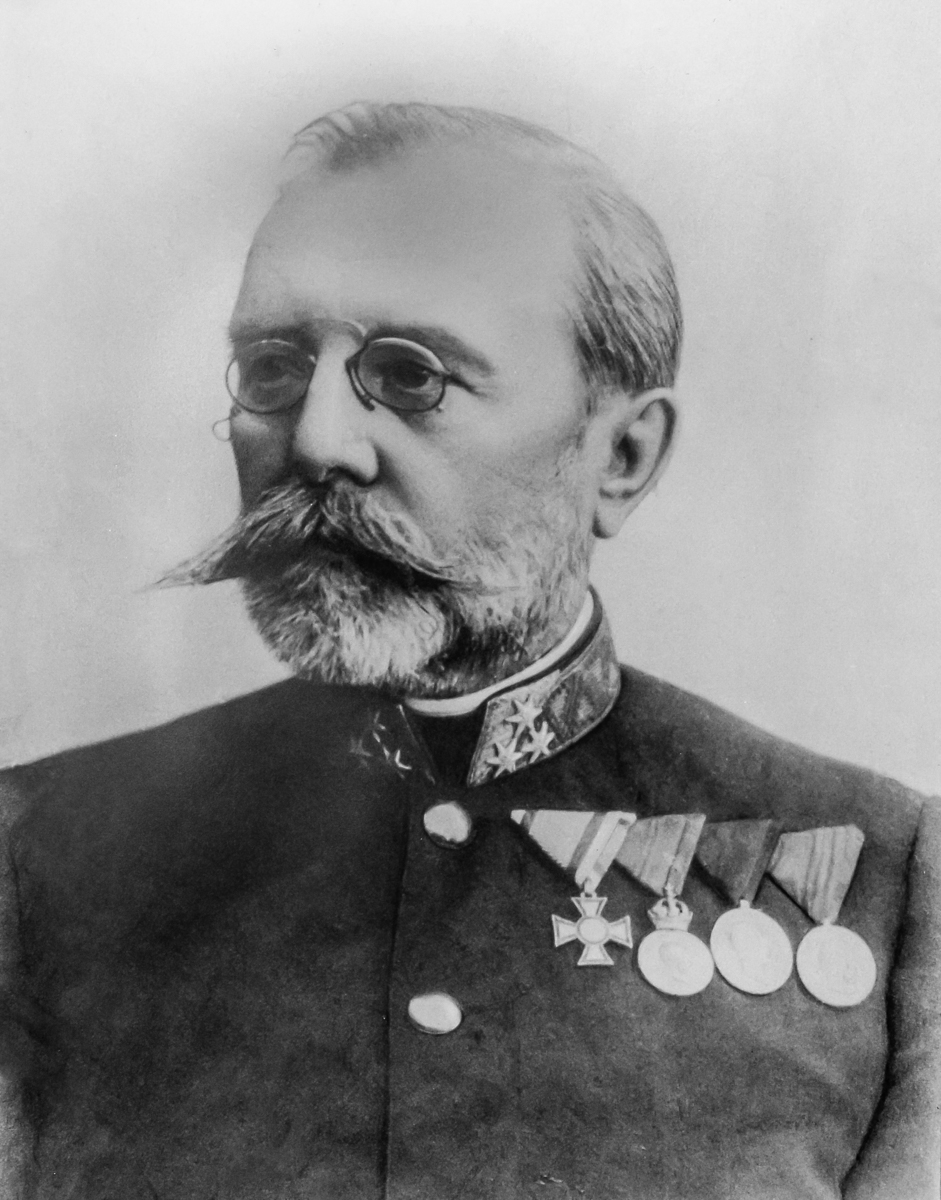
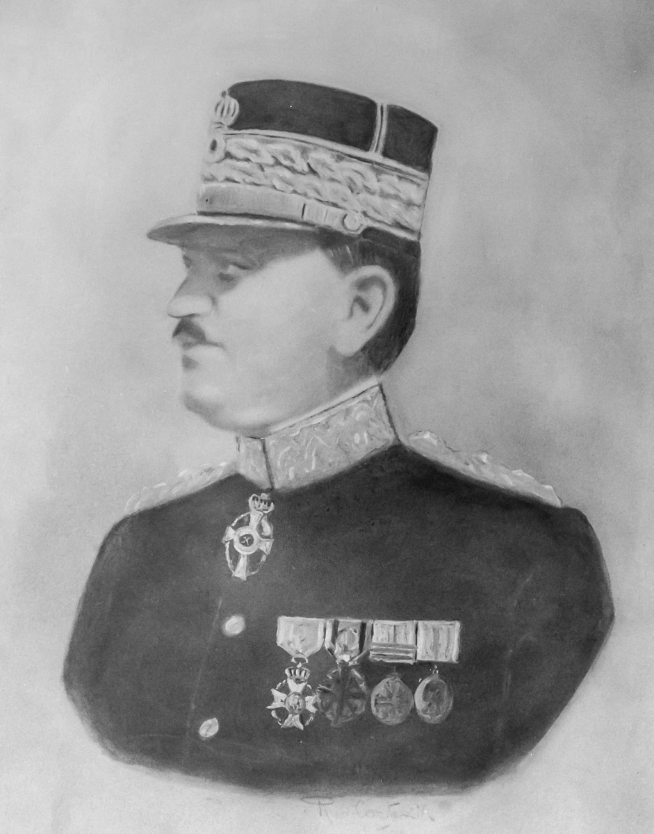
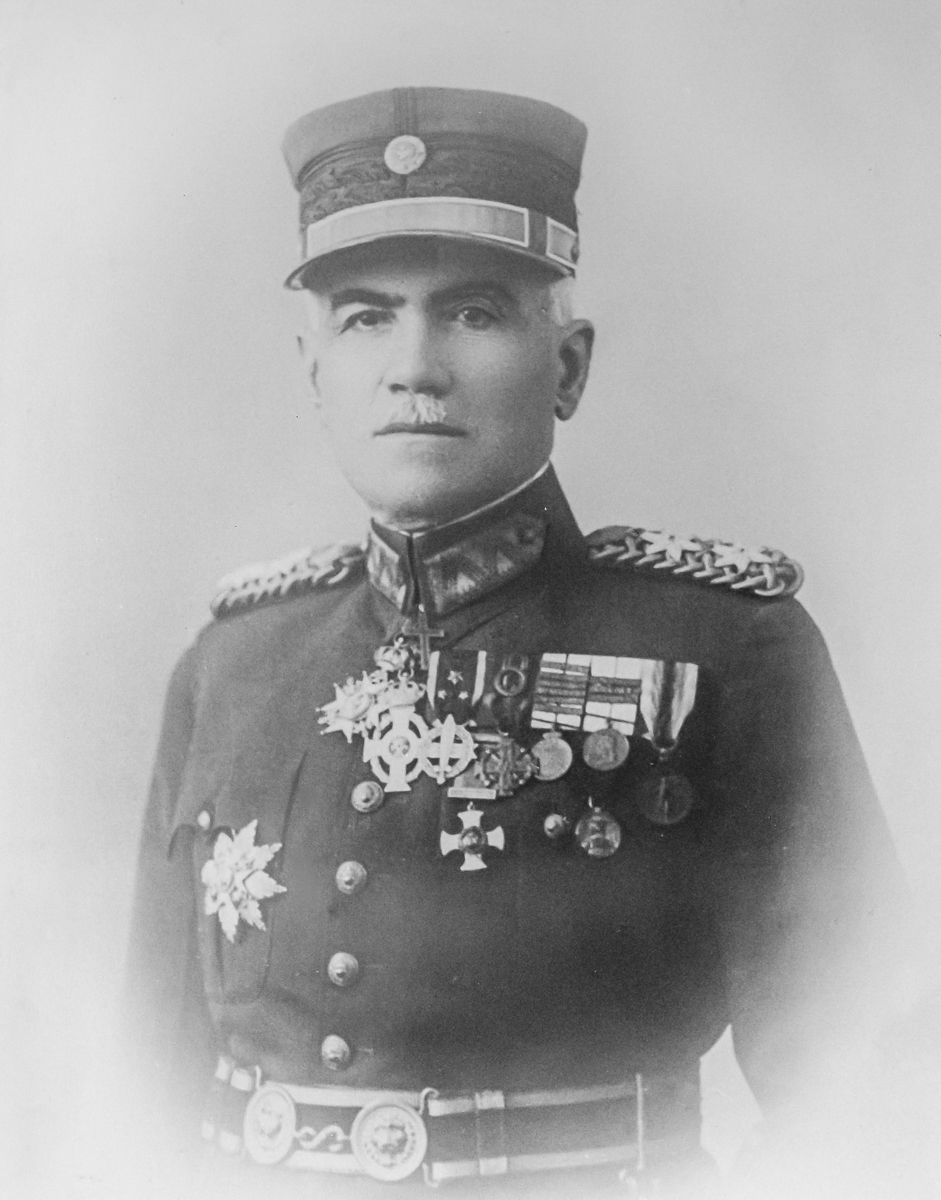
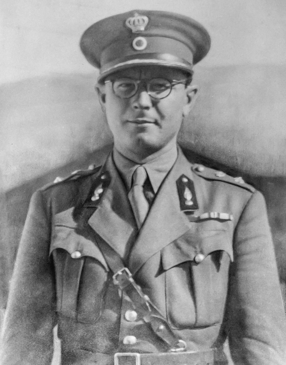
Επικεφαλής της αυστριακής αποστολής τέθηκε ο Ανχης Ερρίκος Χάρτλ, ο οποίος έφτασε στην Ελλάδα στις 8 Αυγούστου του 1889, ενώ την επόμενη ημέρα αποσπάσθηκε σε αυτή ο Υπλγος (ΜΧ) Μεσσαλάς Ευλάμπιος. Στις 22 Αυγούστου 1889, ενσωματώθηκαν σε αυτή οι Ανθλγοι (ΜΧ) Κωνσταντινόπουλος Κωνσταντίνος και Νίδερ Κωνσταντίνος, ενώ την ομάδα της Αυστριακής αποστολής συμπλήρωσαν με την άφιξη τους στις 23 Αυγούστου του 1889, ο Λγος Φραγκίσκος Λέρχλ και ο Υπχος Ιούλιος Λόρ. Οι παραπάνω Αξιωματικοί αποτέλεσαν το πυρήνα της συγκρότησης της σημερινής ΓΥΣ, υπό το τίτλο «Γεωδαιτική αποστολή», η οποία το 1891 μετονομάστηκε σε «Γεωδαιτικό απόσπασμα» και το 1895 σε «Χαρτογραφική Υπηρεσία Στρατού - ΧΥΣ».
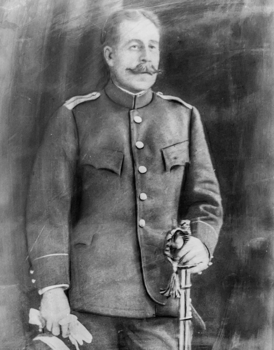
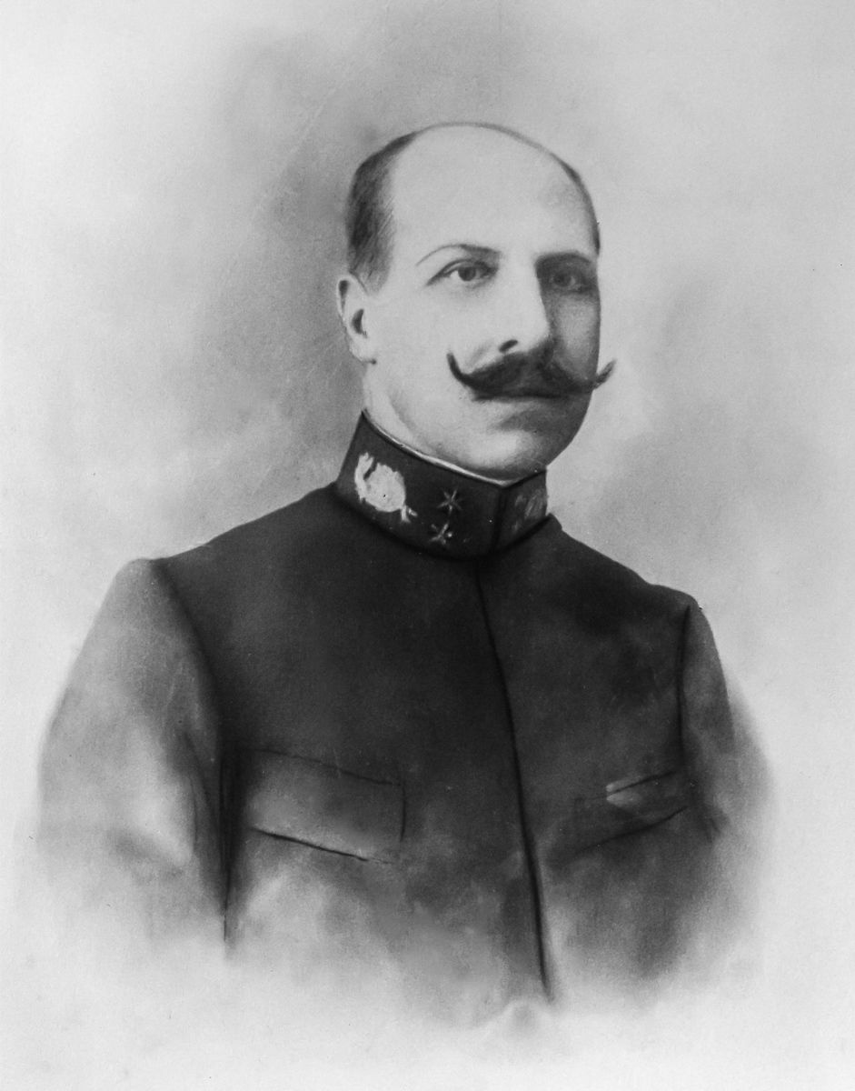
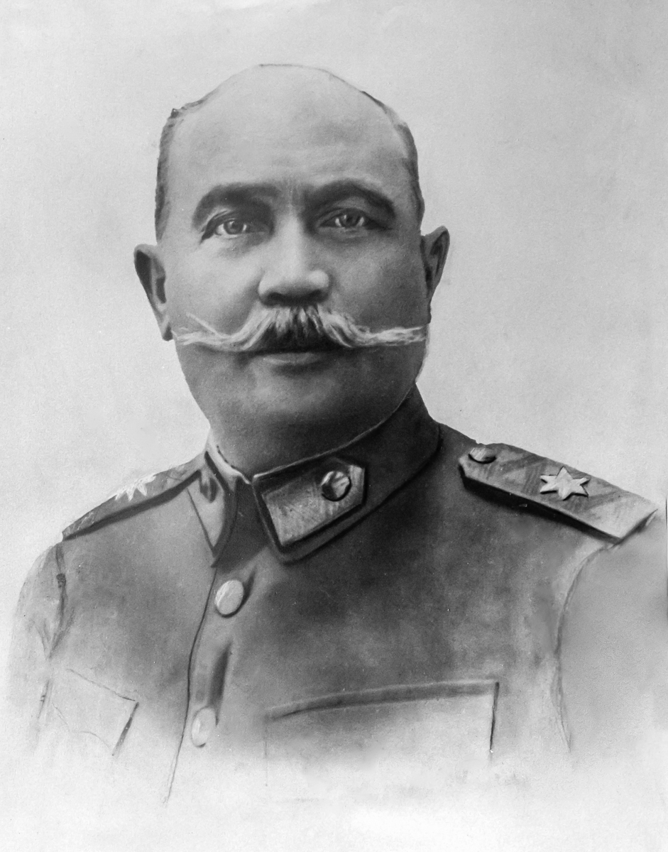
Ο βασικός πυρήνας της Υπηρεσίας διέθετε εξαιρετικά στελέχη. Ένας εκρηκτικός συνδυασμός πείρας, ενθουσιασμού και γνώσης . Ο Ερρίκος Χάρτλ διευθυντής του γεωδαιτικού τμήματος του Γεωγραφικού Ινστιτούτου της Βιέννης, σπουδαίος γεωδαίτης της εποχής με μεγάλη πείρα πεδίου, ο οποίος αργότερα μετά την αποστρατεία του τοποθετήθηκε καθηγητής γεωδαισίας στο πανεπιστήμιο της Βιέννης. Ο Ευλάμπιος Μεσσαλάς μετέπειτα Διοικητής της Χαρτογραφικής Υπηρεσίας πρωτεργάτης και πρωτοπόρος της χαρτογραφικής υποστήριξης στους Βαλκανικούς πολέμους. Ο Κωνσταντίνος Νίδερ επιφανής στρατιωτικός, αργότερα Διοικητής του Γενικού Επιτελείου Στρατού διακρίθηκε στις επιχειρήσεις του Α Παγκόσμιου Πολέμου (Μακεδονικό Μέτωπο) και της Μικρασιατικής Εκστρατείας, ενώ διετέλεσε υφυπουργός Στρατιωτικών στη κυβέρνηση Θεόδωρου Πάγκαλου. Ο Κωνσταντίνος Κωνσταντινόπουλος, ο έφιππος συνταγματάρχης επικεφαλής της εισόδου του πρώτου αγήματος στη Θεσσαλονίκη το 1912. Αυτοί και πολλοί άλλοι διακεκριμένοι Αξιωματικοί της Χαρτογραφικής, γεωδαίτες και τοπογράφοι, διακρίνονται σε όλα τα πολεμικά και μεταπολεμικά θέατρα επιχειρήσεων από τους Βαλκανικούς πολέμους μέχρι το Μακεδονικό Μέτωπο και την Μικρασιατική εκστρατεία, αλλά και δοκιμάζονται σε σημαντικές θέσεις ευθύνης από το 1909 μέχρι το 1922.
Από τις πρώτες μέρες λειτουργίας της Γεωδαιτικής αποστολής ο Χάρτλ εκπόνησε λεπτομερές σχέδιο εργασιών, το οποίο βασίζονταν στην ανάπτυξη της απαραίτητης γεωδαιτικής υποδομής, βασικό στοιχείο για τις μετέπειτα αποτυπώσεις και τη κατασκευή χαρτών. Τη περίοδο παραμονής του στη Χώρα μας αναπτύχθηκε το βασικό τριγωνομετρικό δίκτυο 1ης 2ης και 3ης τάξης με τις απαραίτητες γεωδαιτικές μετρήσεις και υπολογισμούς.
Άξιες προσοχής είναι οι απόψεις του Χάρτλ, οι οποίες ακόμα και μετά από 130 χρόνια παραμένουν επίκαιρες και αναλλοίωτες. Με τις αρχές αυτές οριοθετεί με λιτό και συγχρόνως σαφή και συνεκτικό τρόπο το θεμελιακό πλαίσιο λειτουργίας της. Υπογραμμίζει τη μεγάλη σημασία της ποιότητας και ακρίβειας των γεωδαιτικών και τοπογραφικών μετρήσεων ώστε να έχουν διάρκεια στον χρόνο. Επισημαίνει την αξία των παραγόμενων γεωγραφικών προϊόντων, ως θεμελιακού υλικού το οποίο παρέχεται σε κρατικούς φορείς και αρχές, εταιρίες και ιδιώτες. Τέλος προτείνει το συγκεντρωτικό μοντέλο λειτουργίας, τονίζοντας ιδιαίτερα την επιτακτική ανάγκη σε κάθε περίπτωση να δημιουργηθεί μία και μοναδική αρχή ενημέρωσης και τήρησης των εργασιών αποτύπωσης της χώρας.
Μετά την αποχώρηση της Αυστριακής αποστολής το 1896 έως το 1905 τη διοίκηση της Υπηρεσίας αναλαμβάνει ο Λγος (MX) Αλέξανδρος Κοντόσταυλος (1860-1916), ο οποίος στεγανοποιεί νομοθετικά και επισφραγίζει τον απόλυτο πλέον έλεγχο της Υπηρεσίας στο χαρτογραφικό γίγνεσθαι της Χώρας. Εκσυγχρονίζει τις δομές, τις λειτουργίες της Υπηρεσίας και το τοπογραφικό “πνεύμα πεδίου” που διακρίνει τους αξιωματικούς της, για να την αναδείξει σύντομα σε διακεκριμένο σώμα του στρατεύματος, με ιδιαίτερα αξιοσημείωτες επιστημονικές και τεχνολογικές επιδόσεις στο πεδίο, χάρις στη στενή, συστηματική και πολύ αποτελεσματική συνεργασία με τη Βιέννη.
Οι εργασίες υπό τη διοίκηση του επικεντρώθηκαν στη συμπλήρωση και ταξινόμηση των γεωδαιτικών μετρήσεων του τριγωνομετρικού δικτύου από τη περίοδο της διοίκησης Χάρτλ. Οι εργασίες αυτές διεκόπησαν το 1897 κατά τη διάρκεια του ατυχούς ελληνοτουρκικού πολέμου των 10 ημερών. Ο πόλεμος αυτός που έληξε με καταστροφικές συνέπειες για την Χώρα μας, έφερε στην επιφάνεια τα χρόνια προβλήματα της ανυπαρξίας χαρτογραφικού σχεδιασμού ως απότοκο των πολιτικών αντιπαραθέσεων της εποχής και της αδυναμίας συντονισμού και λήψης αποφάσεων σε κυβερνητικό επίπεδο, με αποτέλεσμα τα στρατεύματα να εισέλθουν στον αγώνα χωρίς χάρτες. Η Υπηρεσία έπρεπε επειγόντως να δρομολογήσει και να υλοποιήσει σχέδιο παραγωγής χαρτών με προτεραιότητα τις παραμεθόριες περιοχές. Ο Κοντόσταυλος προετοιμάζει και σχεδιάζει το πρόγραμμα παραγωγής των Θεσσαλικών Φ.Χ ,σε κλίμακα 1:75.000. Για την υποστήριξη του προγράμματος αποτυπώσεων επανιδρύονται 1070 κατεστραμμένα τριγωνομετρικά σημεία, στην περιοχή της Θεσσαλίας ενώ ξεκινούν οι εργασίες αποτύπωσης των Φ.Χ. Τρίκαλα και Λάρισα.
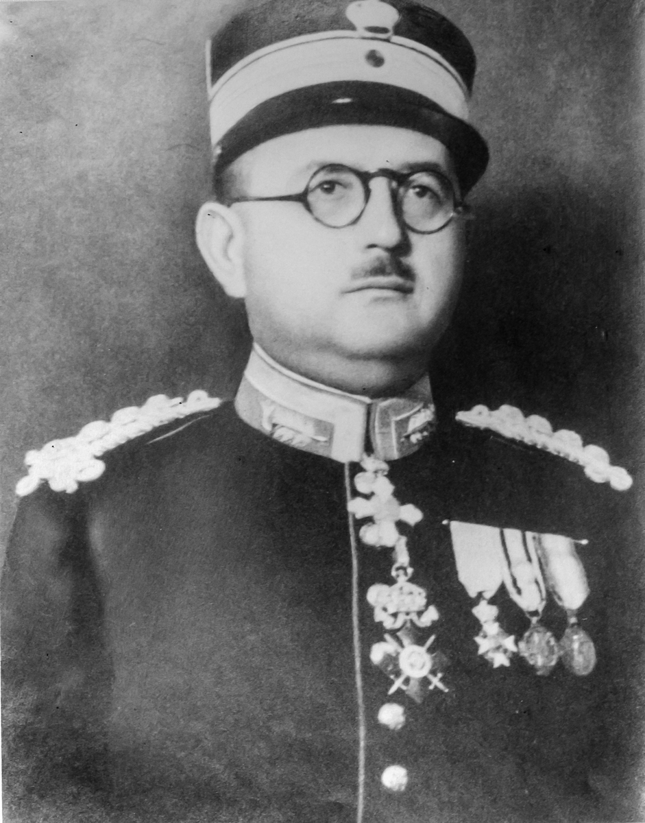
Τον Κοντόσταυλο διαδέχεται στη διοίκηση της Υπηρεσίας το 1906 ο Τχης (ΜΧ) Μεσσαλάς Ευλάμπιος. Η περίοδος 1906-1910 και 1912 της διοίκησης της Χαρτογραφικής Υπηρεσίας από το Μεσσαλά ήταν από τις πλέον παραγωγικές στις εργασίες πεδίου και συνδέεται άμεσα με τη προετοιμασία, και παραγωγή των φύλλων χάρτη της Θεσσαλίας σε κλίμακα 1:75.000, καθώς και με τις χαρτογραφικές εργασίες στα νέα εδάφη που απελευθέρωσε ο Ελληνικός Στρατός το 1912. Έργο πρώτης προτεραιότητας ήταν η αποτύπωση των παραμεθόριων περιοχών σύμφωνα με το σχεδιασμό των προηγουμένων ετών. Το έργο αυτό έχει ιδιαίτερη αξία, καθόσον βασίζεται στη γεωδαιτική εργασία των ετών 1889-1906 και μέσα από αυτήν ουσιαστικά μετουσιώνεται χαρτογραφικά όλο το έργο που έχει προηγηθεί καθώς και η τεχνογνωσία που επενδύθηκε. Η διανομή προέβλεπε την κατασκευή 17 Φύλλων Χάρτη (ΦΧ), τα οποία καλύπτουν βασικά τον εδαφικό χώρο τον εγγύτερο προς τα τότε σύνορα της Ελλάδας, όπως αυτά διαμορφώθηκαν πριν τους Βαλκανικούς πολέμους. Πρόκειται χωρίς υπερβολή για αριστουργήματα χαρτογραφικής τέχνης και κουλτούρας. Η παραστατική απόδοση του ανάγλυφου, η ακρίβεια και η λεπτομέρεια αποτύπωσης των γεωγραφικών στοιχείων, συνδυάζονται με τα απαραίτητα περιθωριακά στοιχεία στα οποία σημειωτέον αναγράφονται η διανομή και οι ονομασίες των πινακίδων αποτύπωσης αλλά και όλοι οι Αξιωματικοί οι οποίοι έλαβαν μέρος στις εργασίες για την κατασκευή του Φ.Χ. με βαθμό και ονοματεπώνυμο.
Όλοι οι παραπάνω χάρτες τυπώνονται στην Βιέννη παρουσία Ελλήνων αξιωματικών της Χαρτογραφικής Υπηρεσίας Στρατού, οι οποίοι σχεδιάζουν επιβλέπουν και επιμελούνται των εργασιών. Η παρουσία τους εκεί είναι πολύ σημαντική, αφού εργάζονται σε ένα χώρο υψηλών επαγγελματικών προδιαγραφών για τα δεδομένα της εποχής, εκπαιδεύονται επιστημονικά και τεχνικά σε όλο το εύρος του έργου των χαρτογραφήσεων, αποκομίζοντας συσσωρευμένη χαρτογραφική γνώση και εμπειρία την οποία μεταφέρουν στην Χώρα μας. Η συνεργασία αυτή θα συνεχιστεί μέχρι το 1919, έτος που η ΧΥΣ αποκτά αυτοδύναμες εκτυπωτικές ικανότητες. Το χαρτογραφικό έργο υπό τη διοίκηση Μεσσαλά και ιδιαίτερα τα Θεσσαλικά φύλλα χάρτου θα αποτελέσουν το 1912 τη χαρτογραφική αιχμή του δόρατος του στρατεύματος στην πορεία από τα θεσσαλικά σύνορα και τη Μελούνα προς την Ήπειρο και τη Μακεδονία.
Αυτοί οι δύο λαμπροί αξιωματικοί ανασυγκροτούν τη Χαρτογραφική, προσδίδοντας τη μεγάλη δυναμική που τη χαρακτηρίζει, από το 1897 μέχρι το 1912, αλλά και αργότερα. Οι Αξιωματικοί της Υπηρεσίας οι επονομαζόμενοι χαρτογράφοι από το 1914 συμμετέχουν παντού, από τους Βαλκανικούς πολέμους και τα πεδία του Μακεδονικού Αγώνα μέχρι τη θαυμαστή, πρωτοφανή για τα μέχρι τότε ελληνικά δεδομένα, κατασκευή και λειτουργία της χαρτογραφικής υποδομής, αποτυπώνοντας σπιθαμή προς σπιθαμή το έδαφος της χώρας, με τοπογραφικές και γεωδαιτικές μετρήσεις σε κάθε οροσειρά, βουνό και πεδιάδα, νησί και νησίδα και ιδιαίτερα, μετά το 1912 τα απελευθερωμένα εδάφη της.
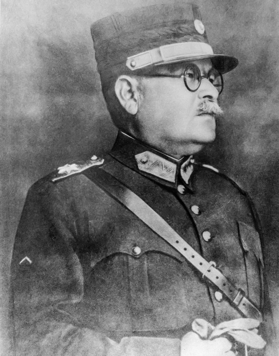
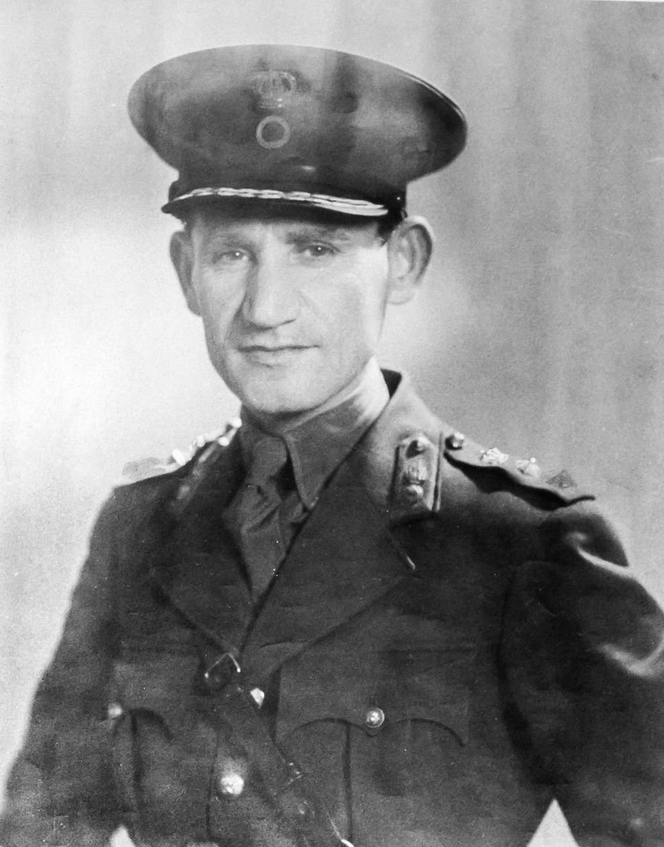
Μετά την αποχώρηση του Μεσσαλά τις τύχες της ΧΥΣ αναλαμβάνει ο Υπτγος Παναγιώτης Φωτιάδης, από τους μακροβιότερους και σημαντικότερους Διοικητές της ΧΥΣ. Με μακροχρόνια σταδιοδρομία στην Υπηρεσία από το 1892 αναλαμβάνει την διοίκηση της από το 1914 μέχρι το 1925, χρονικό διάστημα πρωτοφανούς διάρκειας για τα συνήθη δεδομένα του Ελληνικού κράτους. Η περίοδος Διοίκησης του συνδέεται με τον εκσυγχρονισμό της Υπηρεσίας οδηγώντας την σε μία νέα εποχή ενώ παράλληλα οργάνωσε και εκτέλεσε την υποδειγματική χαρτογραφική προετοιμασία της ελληνικής συμμετοχής στο συμμαχικό Μέτωπο της Θεσσαλονίκης αλλά και της Μικρασιατικής Εκστρατείας με αποκορύφωμα το ελληνικό χαρτογραφικό επίτευγμα της Μικράς Ασίας. Αξιωματικός με μεγάλη γνώση του αντικειμένου, εμπειρία από το Γεωγραφικό Ινστιτούτο της Βιέννης και οργανωτικές ικανότητες ολοκληρώνει το κεφάλαιο χαρτογραφική συγκρότηση της Ελλάδας. Η χαρτογράφηση της χώρας επεκτείνεται με επιστημοσύνη και τέχνη, η Yπηρεσία από το 1919 αποκτά αυτοδύναμες εκτυπωτικές δυνατότητες με αποτέλεσμα οι χάρτες να εκτυπώνονται πλέον στην Χαρτογραφική και όχι πια στη Βιέννη, ενώ διατηρείται η Αυστριακή τεχνογνωσία, που χάραξε τα χαρτογραφικά της χώρας, με σαφή αντήχηση μέχρι και στο Έπος του 1940.
Το έργο Χαρτογράφηση της Ελλάδας (1962-1989)
Για την προεπισκόπιση και μεταφόρτωση αρχείου σε μορφότυπο PDF, επιλέξτε τον ακόλουθο σύνδεσμο: Το έργο Χαρτογράφηση της Ελλάδας (1962-1989)
Το επιστέγασμα της χαρτογραφικής ωριμότητας
Το έτος 1962 αποτελεί σταθμό στη χαρτογραφική πορεία της χώρας. Η οργανωτική δομή της ΓΥΣ, αλλά και οι εγγυήσεις της επιστημονικής της αριστείας δίνουν την ευκαιρία ανάληψης από την Υπηρεσία ενός σημαντικού εθνικού έργου για την ανάπτυξη της Χώρας. Την παραγωγή πολύχρωμων χαρτών κλίμακας 1:25.000 για την τοπική περιφερειακή ανάπτυξη και ανασυγκρότηση της Βορειοδυτικής Πελοποννήσου. Η σύνταξη των χαρτών προέβλεπε τη φωτογραμμετρική μέθοδο από αεροφωτογραφίες πρόσφατης λήψης με αναθεώρηση αυτών στο πεδίο και λήψη νέων όπου υπήρχε ανάγκη. Κλίμακα αναγωγής ορίστηκε η 1:10.000 και όπου υπήρχε ανάγκη βασικών εργασιών για τη σύνταξη κτηματολογίου η αναγωγή ορίστηκε σε κλίμακα 1:5.000.
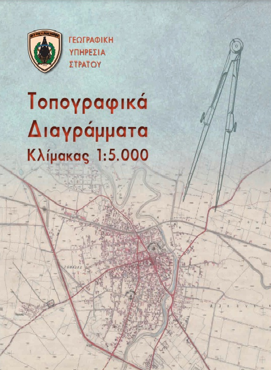
Αρχικά το έργο ανατέθηκε στην Υπηρεσία με την υπ’ αριθμό 19/36187/1551/2-10-1962 απόφαση του Υπουργείου Συντονισμού για την κατάρτιση βασικών χαρτών της Πελοποννήσου και των νήσων Κεφαλλήνιας, Ζακύνθου, Ιθάκης και Κυθήρων. Τα πρώτα θετικά αποτελέσματα άνοιξαν διάπλατα τους ορίζοντες για την ανάληψη στη συνέχεια του έργου Χαρτογράφηση της Ελλάδας με πιστώσεις Δημοσίων Επενδύσεων. Το έργο αυτό τελικά είχε ως αποτέλεσμα τη κάλυψη του συνόλου της ελληνικής επικράτειας με τοπογραφικά διαγράμματα 1:5.000, βαρύνουσας σημασίας για την ανάπτυξη της χώρας, αφού αποτέλεσαν το αναγκαίο υπόβαθρο για την προμελέτη οποιουδήποτε τεχνικού έργου, καθώς και τη βάση για την σύνταξη κτηματολογίων (δασικού, αμπελουργικού, ελαιουργικού κλπ) από το Υπουργείο Γεωργίας.
Από την στιγμή εκείνη η πορεία της Υπηρεσίας περνάει σε δημιουργική και αναζωογονητική τροχιά, με μία πρωτοφανή για τα δεδομένα της αύξηση και εκσυγχρονισμό του επιστημονικού εξοπλισμού της αλλά και του προσωπικού της. Παράλληλα τα βασικά δίκτυα της Χώρας επεκτείνονται τόσο σε πυκνότητα σημείων όσο και σε ακρίβεια. Μέχρι το έτος 1988 η αποτύπωση κάλυψε εδαφική έκταση ίση με το 85% της συνολικής επιφάνειας της Χώρας.
Μηχανογραφικό Κέντρο
Για την προεπισκόπιση και μεταφόρτωση αρχείου σε μορφότυπο PDF, επιλέξτε τον ακόλουθο σύνδεσμο: Μηχανογραφικό Κέντρο
Η είσοδος στη Γεωπληροφορική
Η ΓΥΣ ήδη από την δεκαετία του 1970, χρησιμοποιούσε υπολογιστικά συστήματα με τα οποία υπολογίζονταν οι συντελεστές των κανονικών εξισώσεων του δικτύου 1ης τάξης της Ανατολικής Ελλάδας κυρίως. Στο τμήμα Τριγωνισμού και εν συνεχεία στην Υποδιεύθυνση Πληροφορικής της ΓΥΣ, η επίλυση του δικτύου πρώτης τάξης ήταν ένα έργο χρονοβόρο και πολύ απαιτητικό υπολογιστικά, δεδομένου ότι οι εξισώσεις με την μέθοδο των συνθηκών (μόνο για το δίκτυο 1ης τάξης), καθώς και η αντίστροφη του πίνακα δημιουργούντο χειρωνακτικά.
Ουσιαστικά ήταν ένας άθλος η επίλυση ενός συστήματος 153 εξισώσεων, για το δίκτυο 1ης τάξης, και ειδικότερα η πραγματοποίηση της αντιστροφής του κανονικού πίνακα διαστάσεων (71Χ71) και ένα παρά πολύ δύσκολο υπολογιστικά έργο για την εποχή, που πήρε περίπου 6 μήνες την πρώτη φορά για να υπολογισθεί αποκλειστικά χειρωνακτικά. Η χρήση του υπολογιστικού συστήματος UNIVAC του επιτελείου και η εν συνεχεία η μεταφορά του κώδικα στον πρώτο σύγχρονο υπολογιστή PRIME 550 της ΓΥΣ, ήταν ένα πολύ σημαντικό βήμα στην επίλυση των δικτύων όλων των τάξεων σε ελάχιστους χρόνους σε σχέση με τον μέχρι τότε υπολογισμό με χρήση απλής αριθμομηχανής.
Η εγκατάσταση του συστήματος PRIME 750, με μεταφορά του από τον Δημόκριτο, ως δάνειο στην ΓΥΣ, δημιούργησε ένα ικανότατο υπολογιστικό περιβάλλον στην ΓΥΣ και ένα από τα ισχυρότερα τότε συστήματα στην Ελλάδα. Η βασική γλώσσα προγραμματισμού που χρησιμοποιείτο ήταν η Fortran και όλα τα προγράμματα υπολογισμού δικτύων 1ης τάξης και κατωτέρων τάξεων, έγιναν με δημιουργία προγραμμάτων από το προσωπικό της ΓΥΣ, με τρομερή συντόμευση του χρόνου των υπολογισμών, κυρίως του χρόνου αντιστροφής του κανονικού πίνακα του δικτύου 1ης τάξης από 6-7 μήνες σε μερικές ώρες.
Το 1983 η ΓΥΣ εισέρχεται στον κόσμο των Γεωγραφικών Συστημάτων πληροφοριών ως η πρώτη χώρα των Βαλκανίων και μέσα στις 10 πρώτες παγκοσμίως, με την προμήθεια του λογισμικού ARC-INFO έκδοσης 2 της εταιρίας ESRI. Η πρώτη εγκατάσταση του συστήματος ήταν στον υπολογιστή Prime 550 σε λειτουργικό σύστημα Primos και με κεντρική μνήμη (RAM) 1 MB. Στην συνέχεια το υπολογιστικό σύστημα της ΓΥΣ αναβαθμίστηκε σταδιακά, αποκτώντας μεγαλύτερη κεντρική μνήμα (4 GB) και ταχύτερη CPU. Τα αμέσως επόμενα χρόνια η πληροφοριακή υποδομή επεκτείνεται με την ανάπτυξη και εγκατάσταση το 1986 συστήματος αυτόματης χαρτογράφησης και επεξεργασίας ψηφιακής πληροφορίας, με σκοπό τη βελτίωση της παραγωγικής χαρτογραφικής διαδικασίας και την ανάπτυξη της αυτόματης επεξεργασίας γεωγραφικών πληροφοριών. Το σύστημα αυτό αποτελούνταν από ένα νέο υπολογιστή (PRIME 9650) με τις απαραίτητες μονάδες μαγνητικών δίσκων και ταινίας, δύο τράπεζες ψηφιοποίησης για την είσοδο των δεδομένων, δύο γραφικών οθονών για την αναπαράσταση του χάρτη και την ψηφιακή επεξεργασία των δεδομένων και μία αυτόματη τράπεζα σχεδίασης (PLOTTER) με δυνατότητα σχεδίασης και χάραξης σε πλαστικό αναπαραγωγής.
Τo 1988 εγκαταστάθηκε το σύστημα αυτόματης επεξεργασίας δορυφορικών εικόνων ERDAS, για την εκμετάλλευση αρχικά δορυφορικών εικόνων SPOT και LANDSAT, όσον αφορά τη συλλογή πληροφοριών επ’ ωφελεία των ΕΔ και την υποστήριξη της διαδικασίας αναθεώρησης χαρτών. Το σύστημα αυτό ήταν εφοδιασμένο με κατάλληλο τμήμα επικοινωνίας (interface module) για επικοινωνία από και προς το σύστημα ARC-INFO.
Χάρτες κλίμακας 1:50.000
Για την προεπισκόπιση και μεταφόρτωση αρχείου σε μορφότυπο PDF, επιλέξτε τον ακόλουθο σύνδεσμο: Χάρτες κλίμακας 1:50.000
Η Βασική Κλίμακα Χαρτογράφησης (1:50.000)
Αφετηρία εκκίνησης και εξελικτική πορεία
Κατά τη μεταπολεμική αναδιοργάνωση της ΓΥΣ, η οποία ξεκίνησε το 1945, ετέθη ως κύριος στόχος η συνέχιση της εργασίας αποτύπωσης της χώρας σε πρωτότυπες πινακίδες κλίμακας 1:20.000. Από την προπολεμική περίοδο η αποτύπωση είχε καλύψει ένα μεγάλο μέρος της ελληνικής επικράτειας από τα σύνορα της χώρας μέχρι το κορινθιακό κόλπο. Ο παραπάνω στόχος το 1951 άρχισε να ατονεί, λόγω της εργασίας της Αμερικάνικης Γεωγραφικής Υπηρεσίας (Army Map Service - A.M.S.), η οποία είχε προβεί στην αεροφωτογράφιση ολόκληρης της χώρας το 1945.
Από τη θερινή περίοδο του 1952 αρχίζει το πρώτο και βασικότερο μεταπολεμικό χαρτογραφικό έργο κάλυψης ολόκληρης της ελληνικής επικράτειας από χάρτες κλίμακας 1:50.000. Το έργο αυτό προέβλεπε την επιτόπου αναθεώρηση στο πεδίο από προσωπικό της ΓΥΣ των Φώτο-τοπογραφικών πινακίδων που είχαν κατασκευαστεί από την Αμερικάνική Χαρτογραφική Υπηρεσία, η οποία είχε εκτελέσει την αεροφωτογράφιση ολόκληρης της χώρας σε κλίμακα 1:42.000. Η Αμερικάνικη Υπηρεσία είχε ξεκινήσει από το 1950 την κατασκευή του τοπογραφικού χάρτη της Ελλάδος κλίμακας 1:50.000 και είχε εκδώσει μέχρι το 1955 την πρώτη σειρά χαρτών (1η έκδοση) με την ονομασία AMS M708. Η σειρά αυτή περιελάμβανε 387 Φ.Χ. Λατινικής ονοματολογίας. Για τη κατασκευή της κλίμακας αυτής χρησιμοποίησε γεωδαιτικό και χαρτογραφικό υπόβαθρο της ΓΥΣ (έως το 1940), πραγματοποίησε αεροφωτογράφιση της Ελλάδας σε κλίμακα 1:42.000, αεροτριγωνισμό αγνώστου μεθοδολογίας για την φωτογραμμετρική αναγωγή, καθώς και συμπληρωματικά στοιχεία (χαρτογραφικά και πεδίου) από τη ΓΥΣ και υπάλληλους της Αμερικάνικής Υπηρεσίας που εργάζονταν στην Ελλάδα κατά τη αναφερόμενη περίοδο. Με όλα τα παραπάνω στοιχεία κατασκεύασε, άγνωστο με ποιο ακριβώς τρόπο, το πρωτότυπο υλικό αναπαραγωγής της 1ης έκδοσης, το οποίο μετά την εκτύπωση χαρτών το απέστειλε στη ΓΥΣ, κατά τη περίοδο 1952-1955 σε χαρτοκιβώτια.
Η σειρά των αεροφωτογραφιών, που είχαν ληφθεί το 1945, παραλήφθηκε από τη ΓΥΣ το 1949 και η οργάνωση τους με ανάλογο εντοπισμό σε χάρτες άρχισε το 1950. Η αναθεώρηση των χαρτών κρίθηκε επιβεβλημένη γιατί οι χάρτες αυτοί παρουσίαζαν πολλές ατέλειες και ανακρίβειες, κυρίως λόγω της κακής ερμηνείας των αεροφωτογραφιών. Έτσι το πρωτότυπο υλικό αναπαραγωγής (φιλμ για όλα τα χρώματα) αναθεωρήθηκε με εργασίες πεδίου και κατασκευάστηκε κατά τη περίοδο 1953-1965 το πρωτότυπο υλικό αναπαραγωγής των χαρτών 2ης έκδοσης. Η αναθεώρηση ξεκίνησε το 1952 από την Ν. Πελοπόννησο για 25 Φ.Χ. και συνεχίστηκε αδιάλειπτα έως το έτος 1961. Το έργο συνεχίστηκε στο γραφείο με την σύνθεση και καλλιτεχνική σχεδίαση των χαρτών η οποία τελείωσε οριστικά το 1966 και οδήγησε ουσιαστικά στη πρώτη έκδοση ΦΧ κλίμακας 1:50.000 με εργασία της ΓΥΣ (2η έκδοση). Μέσα σε 15 χρόνια η Χώρα απέκτησε για πρώτη φορά βασικό χαρτογραφικό υπόβαθρο πανελλαδικής κάλυψης στη βασική κλίμακα.
Από τη χρονική αυτή στιγμή το εκάστοτε πρωτότυπο υλικό αναπαραγωγής χαρτών της προηγούμενης έκδοσης αναθεωρείται αποτελώντας το υλικό αναπαραγωγής της επόμενης έκδοσης χαρτών σειράς M708. Μέχρι το 1987 είχε εκδοθεί η 4η σειρά και βρίσκονταν σε εξέλιξη η 5η και η 6η έκδοση από τις οποίες είχαν εκτυπωθεί 200 και 6 Φ.Χ. αντίστοιχα. Επί των πρωτότυπων υλικών αναπαραγωγής χαρτών της κλίμακας 1:50.000 βασίστηκε η ΓΥΣ για να συμπληρώσει και να εκτυπώσει όλους τους άλλους χάρτες κλίμακας 1.100.000, 1:200.000 και 1:400.000.
Το 1953 αρχίζει η εφαρμογή διαιρέσεως των Φ.Χ. της χώρας από το Μεσημβρινό του Greenwich ενώ μέχρι τότε η διαίρεση αναφερόταν στο Mεσημβρινό Αθηνών. Την ίδια χρόνια αρχίζει η χρήση του Μερκατορικού τετραγωνισμού ενώ μέχρι τότε οι εκδόσεις χαρτών χρησιμοποιούσαν Μεσογειακό τετραγωνισμό.
Σήμερα η ΓΥΣ συνεχίζει το έργο αναθεώρησης των τοπογραφικών χαρτών κλίμακας 1:50.000, για την κάλυψη επιχειρησιακών αναγκών των ΕΔ, αλλά και για την εξυπηρέτηση των πολιτών (Χάρτες Γενικής Χρήσεως), με προτεραιότητα σε ευαίσθητες περιοχές για την εθνική άμυνα και ασφάλεια. Ταυτόχρονα σχεδιάζει και βραχυπρόθεσμα θα θέσει σε εφαρμογή τη πλήρη μετάπτωση της διαδικασίας συλλογής, επεξεργασίας, σύνθεσης και καλλιτεχνικής σχεδίασης της βασικής κλίμακας με ολιστική εφαρμογή τεχνολογίας Γεωγραφικών Συστημάτων πληροφοριών.
Γεωδαιτικές-Γεωφυσικές εργασίες (1980-1990)
Για την προεπισκόπιση και μεταφόρτωση αρχείου σε μορφότυπο PDF, επιλέξτε τον ακόλουθο σύνδεσμο: Γεωδαιτικές-Γεωφυσικές εργασίες (1980-1990)
Γεωδαιτικές-Γεωφυσικές εργασίες (1980-1990)
Η είσοδος νέων μεθόδων και τεχνολογίας
Η περίοδος από το 1982-1986 χαρακτηρίζεται από την εισαγωγή νέων μεθόδων μέτρησης και τη δημιουργία καινούργιων σταθμών, για τις γεωδαιτικές, δορυφορικές και αστρονομικές παρατηρήσεις.
Όσον αφορά το τριγωνομετρικό δίκτυο και ειδικότερα το τριγωνομετρικό δίκτυο 1ης τάξης, το οποίο αποτελείται από 137 σημεία πραγματοποιήθηκαν 720 γωνιομετρήσεις, 17 πλευρομετρήσεις με ειδικά γεωδίμετρα AGA και μετρήσεις σε 20 αστρονομικούς σταθμούς Laplace. Μετρήθηκε εκ νέου ένα μέρος του δικτύου 2ης τάξεως, ενώ ολοκληρώθηκαν οι παρατηρήσεις των δικτύων κατωτέρων τάξεων. Οι αστρονομικές παρατηρήσεις πραγματοποιήθηκαν με όργανα WILD T4, αστρονομικούς θεοδόλιχους και χρονογράφους LONGINES.
Στον τομέα της δορυφορικής γεωδαισίας πραγματοποιήθηκαν μετρήσεις Doppler σε 56 σταθμούς κατανεμημένους σε όλο τον ελλαδικό χώρο, οι περισσότεροι από τους οποίους ήταν τριγωνομετρικά 1ης τάξης. Το πρόγραμμα Doppler αποτέλεσε καινοτόμα εφαρμογή των διακλαδικών χαρτογραφικών υπηρεσιών των ΗΠΑ, τη περίοδο 1971-72, για το προσδιορισμό της γεωγραφικής θέσης σημείων στη γήινη επιφάνεια και στις 3 διαστάσεις. Μετά από τον έλεγχο και την αξιολόγηση του τα αποτελέσματα κρίθηκαν ικανοποιητικά για γεωδαιτικούς και χαρτογραφικούς σκοπούς και υλοποιήθηκε η παγκόσμια εφαρμογή του με την παραγωγή 1500 γεωδαιτικών δεκτών περίπου.
Σκοπός των παραπάνω μετρήσεων στον ελλαδικό χώρο ήταν ο υπολογισμός των παραμέτρων μετατόπισης, για την μετατροπή από το γεωδαιτικό σύστημα ED 50 στο WGS72 και αντίστροφα, με σκοπό τη σύνδεση του τριγωνομετρικού δικτύου της χώρας με το Ευρωπαϊκό τριγωνομετρικό δίκτυο, καθώς και ο προσδιορισμός της θέσης σημείων με ακρίβεια της τάξης των 0,5 μέτρων σε 15 βραχονησίδες του Αιγαίου και Ιονίου πελάγους, που δεν ήταν δυνατό να προσδιορισθούν με κλασικές μεθόδους. Τα όργανα που χρησιμοποιήθηκαν ήταν 4 δέκτες MX 1502, δύο από τη ΓΥΣ και δύο από το ΕΜΠ. Το δίκτυο μηδενικής τάξης Doppler αποτελείται από 4 σταθμούς, ενώ το δίκτυο 2ης και 3ης τάξης από 10 και 44 σταθμούς αντίστοιχα.
Την ίδια περίοδο η Υπηρεσία συμμετείχε στο πρόγραμμα WEGENER-MEDLAS ως ενεργό μέλος. Σκοπός του υπόψη προγράμματος ήταν η μελέτη και ο προσδιορισμός των μικρομετακινήσεων των τεκτονικών πλακών του στερεού φλοιού της γης και μακροπρόθεσμα η πρόβλεψη των σεισμών στη χώρα μας και στην ευρύτερη περιοχή της ανατολικής και κεντρικής Μεσογείου. Από το 1984 επιλέχθηκαν 6 σταθμοί στο Διόνυσο, Κρήτη, Πελοπόννησο, Ήπειρο, Θράκη στους οποίους ιδρύθηκαν μόνιμοι σταθμοί παρατήρησης (ειδικά κατασκευασμένες πλατφόρμες από μπετόν) και πραγματοποιήθηκαν δορυφορικές μετρήσεις (Δορυφόροι LACEOS, STARLETTE) με φορητά συστήματα laser, για το προσδιορισμό της θέσης του οργάνου με ακρίβεια 1-2 εκατοστών. Από την επανάληψη των μετρήσεων ανά τακτά χρονικά διαστήματα ελήφθη ένα μοντέλο τρέχουσας κινητικής συμπεριφοράς από το οποίο προέκυψε η σχέση των παραμορφώσεων. Τον Ιούνιο του 1987 χρησιμοποιήθηκαν 5 δέκτες GPS, για να συνδέσουν τις πλατφόρμες WEGENER με το κρατικό τριγωνομετρικό δίκτυο.
Οι μετρήσεις πραγματοποιήθηκαν σε συνεργασία με τα Πανεπιστήμια Αθηνών-Νιούκαστλ και Ντελφ και έλαβαν χώρα ταυτόχρονα σε κάθε πλατφόρμα και στα τριγωνομετρικά της γύρω περιοχής. Σκοπός των διαχρονικών μετρήσεων (ανά δύο χρόνια), ήταν ο προσδιορισμός των μικρομετακινήσεων μεταξύ των τριγωνομετρικών σημείων και κάθε πλατφόρμας.
Τριγωνομετρικό Δίκτυο Ελλάδας
Για την προεπισκόπιση και μεταφόρτωση αρχείου σε μορφότυπο PDF, επιλέξτε τον ακόλουθο σύνδεσμο: Τριγωνομετρικό Δίκτυο Ελλάδας
Το Τριγωνομετρικό Δίκτυο της Ελλάδας
Η εξελικτική πορεία του γεωδαιτικού σκελετού της χώρας
Από ιδρύσεως της ΓΥΣ με την επωνυμία Γεωδαιτικό Απόσπασμα, ξεκίνησε η δημιουργία της γεωδαιτικής υποδομής της χώρας. Μέχρι το 1918 αναπτύχθηκε το πρώτο ελληνικό τριγωνομετρικό δίκτυο 1ης τάξης, το οποίο κάλυπτε όλη την έκταση της ελεύθερης τότε Ελλάδας, δηλαδή εκτείνονταν μέχρι τη παλιά οροθετική γραμμή βόρεια της Λάρισας και αποτέλεσε το πρωτεύων δίκτυο της χώρας για την εποχή εκείνη. Μετά τους νικηφόρους Βαλκανικούς Πολέμους, το δίκτυο επεκτάθηκε μέχρι τη νέα οροθετική γραμμή. Το δίκτυο αυτό έχει επικρατήσει μέχρι σήμερα με την επωνυμία παλαιό τριγωνομετρικό δίκτυο.
Το δίκτυο αυτό έχει ως βασικό σημείο το τριγωνομετρικό βάθρο του Αστεροσκοπείου Αθηνών και μία μόνο βάση στην Ελευσίνα (Θριάσιο Πεδίο). Ο υπολογισμός των γεωγραφικών συντεταγμένων έγινε στο ελλειψοειδές του Bessel και για το τμήμα που μετρήθηκε τη περίοδο 1889-1905 υλοποιήθηκε εμπειρικά, ενώ για το τμήμα που μετρήθηκε το διάστημα 1918-1925 έγινε με τη μέθοδο ελαχίστων τετραγώνων. Ταυτόχρονα με τις παραπάνω μετρήσεις εκτελέστηκαν και εργασίες για το δίκτυο 2ης τάξης και για τα δίκτυα πύκνωσης. Έτσι, μέχρι το 1925 ιδρύθηκαν και προσδιορίστηκαν περί τα 2130 τριγωνομετρικά σημεία διαφόρων τάξεων.
Μετά το 1925 έγινε προσπάθεια για την εγκατάσταση, μέτρηση και υπολογισμός ενός καλύτερου πρωτεύοντος δικτύου και για το σκοπό αυτό η Ελλάδα χωρίστηκε σε τρία τόξα, το Κεντρικό, το Ανατολικό και το Δυτικό. Κατά προτεραιότητα οι μετρήσεις έγιναν στο Κεντρικό τόξο, το οποίο αποτέλεσε και τμήμα της αλυσίδας τριγώνων που εκτείνεται από τη Βόρειο Θάλασσα μέχρι το Ακρωτήρι της Καλής Ελπίδας (Struve Arc).Ο υπολογισμός του δικτύου αυτού έγινε με τη Μέθοδο των ελαχίστων τετραγώνων (ΜΕΤ), στο ελλειψοειδές του Bessel, με τρεις πλευρές-βάσεις μία στην Ελευσίνα, μία στη Λάρισα, μία στην Κρήτη και τρία σημεία Laplace ένα στο όρος Βόρας (Καίμακτσαλάν), ένα στη βάση της Λάρισας και ένα στη βάση της Κρήτης. Από το κεντρικό τόξο έγινε η επέκταση στο Ανατολικό και στο Δυτικό και μετρήθηκαν τρεις επιπλέον βάσεις με αντίστοιχα σημεία Laplace. Μέχρι το τέλος του 1939 το τριγωνομετρικό δίκτυο της χώρας αποτελούνταν από 160 σημεία 1ης τάξης, 320 σημεία 2ης τάξης και το σύνολο όλου του δικτύου αριθμούσε περί τα 4500 τριγωνομετρικά σημεία. Το δίκτυο αυτό συνδέθηκε με τη Γιουγκοσλαβία, τη Βουλγαρία και την Τουρκία.
Από το έτος 1949 στα πλαίσια της ανασυγκρότησης της ΓΥΣ, έγινε σχεδόν εξαρχής μελέτη του κρατικού τριγωνομετρικού δικτύου, αφού τα βάθρα των τριγωνομετρικών σημείων είχαν καταστραφεί σε ποσοστό πλέον του 30% και όλο το αρχείο είχε καταστραφεί από τις κατοχικές δυνάμεις. Έτσι, μετρήθηκε εκ νέου το δίκτυο 1ης και 2ης τάξης, ενώ ταυτόχρονα υλοποιήθηκε και σχετική πύκνωση με μεθόδους που πληρούσαν τις απαιτήσεις της χαρτογραφικής ακρίβειας για τις ανάγκες των ΕΔ, αλλά δεν πληρούσε τις απαιτούμενες προδιαγραφές από πλευράς χρήσεως οργάνων, σφάλματος κλεισίματος τριγώνων και μεθόδων. Η πρώτη αυτή αναθεώρηση ολοκληρώθηκε το έτος 1962.
Το 1962, η ΓΥΣ ανέλαβε το έργο Χαρτογράφηση της Ελλάδας σε κλίμακα 1:5.000, οπότε ταυτόχρονα άρχισε εκ νέου η αναθεώρηση των τριγωνομετρικών δικτύων 1ης, 2ης τάξης τμηματικά και ταυτόχρονα άρχισε η ίδρυση των δικτύων 3ης και 4ης τάξης. Οι νέες μετρήσεις για το δίκτυο 1ης τάξης ολοκληρώθηκαν το 1979, οπότε και άρχισε ο υπολογισμός εκ νέου των δικτύων. Το 1981 έγινε η πρώτη γεωμετρική συνόρθωση του δικτύου 1ης τάξης με μία μόνο πλευρά-βάση (Κτυπάς-Πάρνηθα). Το 1984 με τη συνέχεια των υπολογισμών έγινε νέα συνόρθωση του δικτύου 1ης τάξης χρησιμοποιώντας 17 πλευρές-βάσεις και 14 αζιμούθια Laplace. Το 1986 αναθεωρήθηκε εκ νέου ο υπολογισμός του δικτύου 1ης τάξης με νεότερη λύση, καλύτερα θεωρητικά τεκμηριωμένη, οπότε με σταθερή αυτή τη λύση έγινε ο υπολογισμός όλων των δικτύων 2ης , 3ης και 4ης τάξης. Μέχρι το 1987 μετρήθηκαν εκ νέου αρκετές περιοχές της Ελλάδας και ολοκληρώθηκαν και οι μετρήσεις των δικτύων κατωτέρας τάξης. Ο τελικός υπολογισμός όλων των δικτύων ολοκληρώθηκε το Φεβρουάριο του 1989.
Μέχρι τον Σεπτέμβριο του 1989, ολοκληρώθηκε και ο υψομετρικός υπολογισμός των τριγωνομετρικών σημείων. Η συνόρθωση έγινε κατά μεγάλες ενότητες (ένα ή περισσότερα ΦΧ 1:50.000). Σε κάθε ενότητα είχε υπολογιστεί το υψόμετρο ενός ικανού αριθμού σημείων ακρίβειας 1 cm, με γεωμετρική χωροστάθμηση, εξαρτημένη από το χωροσταθμικό δίκτυο της χώρας.
Παράλληλα με τους υπολογισμούς στο ελληνικό datum (στο ελλειψοειδές του Bessel), με την ίδια ακριβώς μεθοδολογία έγινε και ο υπολογισμός των δικτύων 1ης και 2ης τάξης στο ED50, για τις ανάγκες των ΕΔ, αλλά και άλλων υπηρεσιών. Οι γεωδαιτικές συντεταγμένες υπολογίστηκαν από το τριγωνομετρικό 1ης τάξης Κτυπάς, με αζιμούθιο προς το τριγωνομετρικό 1ης τάξης Πάρνηθα. Τα δίκτυα 3ης και 4ης τάξης στο ED50 υπολογίστηκαν εκ μετασχηματισμού.
Το 1986 προτάθηκε από το Καθηγητή του ΕΜΠ κ, Γεώργιο Βέη, ένα νέο γεωδαιτικό σύστημα αναφοράς και μια νέα χαρτογραφική προβολή. Το νέο αυτό σύστημα χρησιμοποιεί ως ελλειψοειδές το GRS80 και αρχή το κεντρικό βάθρο του σταθμού παρακολούθησης δορυφόρων στο Διόνυσο Αττικής, στο οποίο υπολογίστηκαν φ, λ, ξ, η, Ν. Το datum αυτό επιλέχθηκε, ώστε να ελαχιστοποιούνται οι αποκλίσεις της κατακόρυφου στον ηπειρωτικό ελληνικό χώρο. Επίσης, επιλέχτηκε η εγκάρσια μερκατορική προβολή σε μία ζώνη, ως ενιαία χαρτογραφική προβολή για όλη τη χώρα.
Το κρατικό τριγωνομετρικό δίκτυο που υλοποιεί το ΕΓΣΑ87, αποτελείται από 137 σημεία 1ης ς τάξης, 475 σημεία 2ης , 3903 σημεία 3ης και 21187 4ης τάξης, με μέση πυκνότητα 1 σημείο ανά 5 τετραγωνικά χιλιόμετρα.
Με την έλευση της δορυφορικής τεχνολογίας η ΓΥΣ, βασιζόμενοι στα ίδια βάθρα, δημιούργησε ένα δίκτυο από 201 τριγωνομετρικά σημεία τα οποία προσδιορίστηκαν με δορυφορικές παρατηρήσεις στο ITRS. Το δίκτυο αυτό ονομάστηκε HEGNET2002 και πέραν των τριγωνομετρικών σημείων περιλαμβάνει και σημεία του προγράμματος WEGENER, παλιρροιογράφους και χωροσταθμικά βάθρα.
Γεωμαγνητικό Δίκτυο Ελλάδας
Για την προεπισκόπιση και μεταφόρτωση αρχείου σε μορφότυπο PDF, επιλέξτε τον ακόλουθο σύνδεσμο: Γεωμαγνητικό Δίκτυο Ελλάδας
Γεωμαγνητισμός στην Ελλάδα
Οι πρώτες μαγνητικές παρατηρήσεις στην Ελλάδα οφείλονται στους Υδρογράφους Αξιωματικούς του Βρετανικού και Γαλλικού Ναυτικού, οι οποίοι ασχολήθηκαν με την υδρογραφική αποτύπωση των Ελληνικών ακτών. Οι παρατηρήσεις αυτές όμως δεν ήταν συστηματικές, αλλά λίγες και ανεξάρτητες μεταξύ τους. Επιπρόσθετα η έγκλιση και η οριζόντια συνιστώσα δεν τους απασχόλησαν σοβαρά, καθόσον τα στοιχεία αυτά δεν ήταν στην σφαίρα ενδιαφέροντος της Ναυτιλίας.
Επομένως τα στοιχεία αυτά έπασχαν από επιστημονική ανακρίβεια. Οι καμπύλες μαγνητικής απόκλισης ήταν προσεγγιστικές, με αποτέλεσμα η κατανομή του γήινου μαγνητισμού στον ελληνικό χώρο να θεωρείται σχεδόν άγνωστη μέχρι τον 19ο αιώνα.
Οι πρώτες επιστημονικές προσπάθειες έρευνας κατανομής του γήινου μαγνητισμού στην χώρα χρονολογούνται το 1895 από το συμβούλιο του εθνικού Αστεροσκοπείου Αθηνών με την εισήγηση για την δημιουργία μαγνητικού σταθμού. Το Υπουργείο Ναυτικών το 1898 προέβη στην εγκατάσταση στον Ναύσταθμο της Σαλαμίνας σταθμού αντισταθμίσεως των πυξίδων των πολεμικών πλοίων, στην αγορά ειδικών οργάνων για την μέτρηση των απολύτων τιμών των μαγνητικών στοιχείων και την ίδρυση γεωμαγνητικού σταθμού για την μελέτη της μεταβολής των στοιχείων αυτών.
Οικοδομήθηκε ειδικό περίπτερο στο λόφο των Nυμφών πλησίον του Αστεροσκοπείου Αθηνών, το οποίο περατώθηκε το 1899, ενώ περί τα μέσα του 1898 πραγματοποιήθηκε η προμήθεια ενός θεοδολίχου για την μέτρηση των απολύτων τιμών και μιας σειράς οργάνων για την μέτρηση των μεταβολών. Από το 1899 και για 9 συναπτά έτη μέχρι το 1908 ο μαγνητικός σταθμός λειτούργησε αδιάλειπτα. Οι παρατηρήσεις όμως αναφέρονταν στη περιοχή των Αθηνών, οπότε ήταν αδύνατη η σύνταξη μαγνητικού χάρτη της χώρας λόγω της έλλειψης παρατηρήσεων σε άλλα σημεία του ελλαδικού χώρου. Οι πρώτες παρατηρήσεις εκτός Αθηνών άρχισαν το 1907. Στα πλαίσια των υδρογραφικών αποτυπώσεων στις περιοχές των ακτών Θεσσαλίας και Σποράδων υπολογίσθηκαν μαγνητικά στοιχεία σε έξι σημεία. Το 1909 το Υπουργείο Ναυτικών μετά από εισήγηση του Υποπλοίαρχου Ματθαιόπουλου προμηθεύεται ένα φορητό μαγνητικό θεοδόλιχο.
Το 1919 ιδρύεται η Διεύθυνση Υδρογραφικής Υπηρεσίας αρμόδια για την εκτέλεση υδρογραφικών αποτυπώσεων. Ανάμεσα στις αποστολές της ήταν και η μελέτη του γήινου μαγνητισμού. Μέχρι το 1925 και για έξη έτη από το 1919 μετρήθηκε σε 80 σταθμούς στον ελλαδικό χώρο η απόκλιση και στους περισσότερους η έγκλιση και η οριζόντια συνιστώσα.
Το 1926 εκπαιδεύτηκαν από την Υδρογραφική Υπηρεσία 2 Αξιωματικοί της ΓΥΣ και μετρήθηκαν 31 μαγνητικοί σταθμοί με αποτέλεσμα την σύνταξη για πρώτη φορά προσωρινού μαγνητικού χάρτη της Χώρας, ο οποίος παρείχε τις καμπύλες ίσης αποκλίσεως ανά ¼ της μοίρας από τις υφιστάμενες παρατηρήσεις και σε συνδυασμό με τις καμπύλες από αγγλικούς χάρτες γειτονικών περιοχών.
Η έλλειψη του μαγνητοσκοπίου, του οποίου η λειτουργία είχε διακοπεί το 1903 δημιουργούσε σοβαρά προβλήματα στην αναγωγή των υπολογισθέντων στοιχείων και τον υπολογισμό των σταθερών σφαλμάτων του χρησιμοποιούμενου θεοδόλιχου.
Το 1927 η ΓΥΣ συνεργαζόμενη επιστημονικά με την Υδρογραφική Υπηρεσία προέβη στην προμήθεια νέου θεοδολίχου, καθώς και ενός πρότυπου σταθερού μαγνητόμετρου Sartonius για την μέτρηση των απολύτων τιμών. Η απόκτηση των οργάνων αυτών, ειδικά του φορητού θεοδολίχου έδωσε την δυνατότητα συστηματικότερης μελέτης της κατανομής των σταθμών, ώστε να απέχουν μεταξύ τους 50-100 χιλιόμετρα, ενώ παράλληλα αύξησε την δυνατότητα εκτέλεσης μετρήσεων σε περισσότερους σταθμούς ετησίως. Έτσι, με τη συνεργασία της ΓΥΣ αυξήθηκε ο αριθμός των παρατηρήσεων σε 42 σταθμούς ετησίως το 1929 και 1930 και σε 101 το 1931.
Το 1932 συντάχθηκε ο πρώτος επίσημος γεωμαγνητικός χάρτης της χώρας ο οποίος περιείχε της καμπύλες ίσης αποκλίσεως και ίσης εγκλίσεως της ελληνικής επικράτειας και των πέριξ αυτής θαλασσών.
Το κτίριο του Μαγνητοσκοπίου τελικά αποπερατώθηκε το 1934 σε χέρσα έκταση 1500 τμ στην περιοχή μεταξύ Μενιδίου - αερολιμένα Τατοΐου, στα ΝΔ του αερολιμένα και σε απόσταση 1000 περίπου μέτρων από τις εγκαταστάσεις της αεροπορικής βάσης.
Οι βάσεις για ένα πλήρες γεωμαγνητικό δίκτυο τέθηκαν το 1972, με την ίδρυση 54 σταθμών σε ολόκληρη τη χώρα. Από το 1980 έγινε πύκνωση των σταθμών και σήμερα το γεωμαγνητικό δίκτυο αριθμεί 108 σημεία κατανεμημένα σε όλο τον ελλαδικό χώρο.
Τμήμα ανάγλυφων
Για την προεπισκόπιση και μεταφόρτωση αρχείου σε μορφότυπο PDF, επιλέξτε τον ακόλουθο σύνδεσμο: Τμήμα ανάγλυφων
Το τμήμα ανάγλυφων ιδρύθηκε το 1931 με αποστολή τη κατασκευή ανάγλυφων για στρατιωτικές ανάγκες (διδασκαλία μορφολογίας εδάφους κλπ), απεικόνιση ιστορικών γεγονότων και για άλλους επιστημονικούς σκοπούς, τεχνικές μελέτες κλπ. Η σύνθεσή του περιελάμβανε 3 άτομα πολιτικό προσωπικό και ένα Αξιωματικό επικεφαλής.
Μέχρι το 1935 είχαν κατασκευαστεί 20 βασικά ανάγλυφα. Για τη κατασκευή τους, εκτός της συνήθους εργασίας που περιελάμβανε την απόδοση του χάρτη σε πλαστική μορφή και τη μελέτη των ιστορικών πηγών και εκθέσεων, απαιτήθηκε η επιτόπια παρουσία ειδικού τεχνίτη στην προς απόδοση περιοχή για να σχηματίσει άμεση αντίληψη του χώρου και να αποδώσει με τον καλύτερο δυνατό τρόπο τα χρώματα του εδάφους και των καλλιεργειών, καθώς και όπου ήταν δυνατόν με εναέρια παρατήρηση από αεροσκάφος, προκειμένου να σχηματίσει εποπτική αντίληψη της περιοχής.
Ειδικότερα κατασκευάστηκαν:
7 ανάγλυφα μαχών (Σαρανταπόρου, Γιαννιτσών, Ιωαννίνων, Κιλκίς-Σκρα, Ναυμαχίας Λήμνου, Ναυμαχίας Έλλης)
7 ανάγλυφα ιστορικών γεγονότων
7 Ανάγλυφα μαχών (Θερμοπυλών, Μαραθώνα, Πλαταιών, Ναυμαχία Σαλαμίνας, Σφακτηρίας, Μονής Αγίας Λαύρας, Μονής Αρκαδίου).
2 ανάγλυφα για μελέτες και ασκήσεις στρατιωτικής φύσεως (Πεδίου Χαρβάτι για το Πυροβολικό, Πεδίου Γουδί για το Μηχανικό)
3 γενικά τοπογραφικά
Ανάγλυφος Χάρτης Βαλκανικής χερσονήσου 1:1.000.000
Ανάγλυφος Χάρτης Ελλάδας 1:500.000
Ανάγλυφος Χάρτης 1:100.000 Νιγρίτας, Δράμας, Σερρών, Ροδολίβος
1 γεωλογικό θέμα
Νήσος Σαντορίνη με αναπαράσταση των εκρήξεων λάβας